


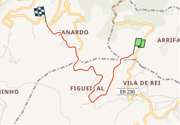

8,2 km | 11,1 km-effort


Tous les sentiers balisés d’Europe GUIDE+


Gratisgps-wandelapplicatie
 SityTrail
IGN / Geografische instituten
SityTrail World
De wereld gaat voor u open
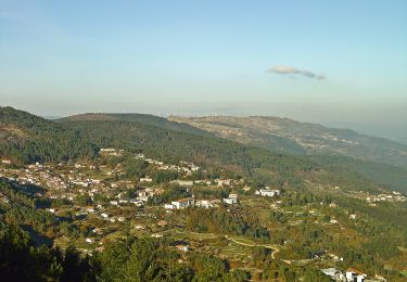
Tocht Te voet van 3 km beschikbaar op Centro, Viseu, Campo de Besteiros. Deze tocht wordt voorgesteld door SityTrail - itinéraires balisés pédestres.
Trail created by Câmara Municipal de Tondela.
Website: http://www.cm-tondela.pt/images/percursos/Rota_dos_Laranjais.pdf
Te voet
